

Plans to create 1,000 miles of safe cycling and walking routes in Greater Manchester have today been unveiled by Mayor Andy Burnham and former Olympic cyclist Chris Boardman.
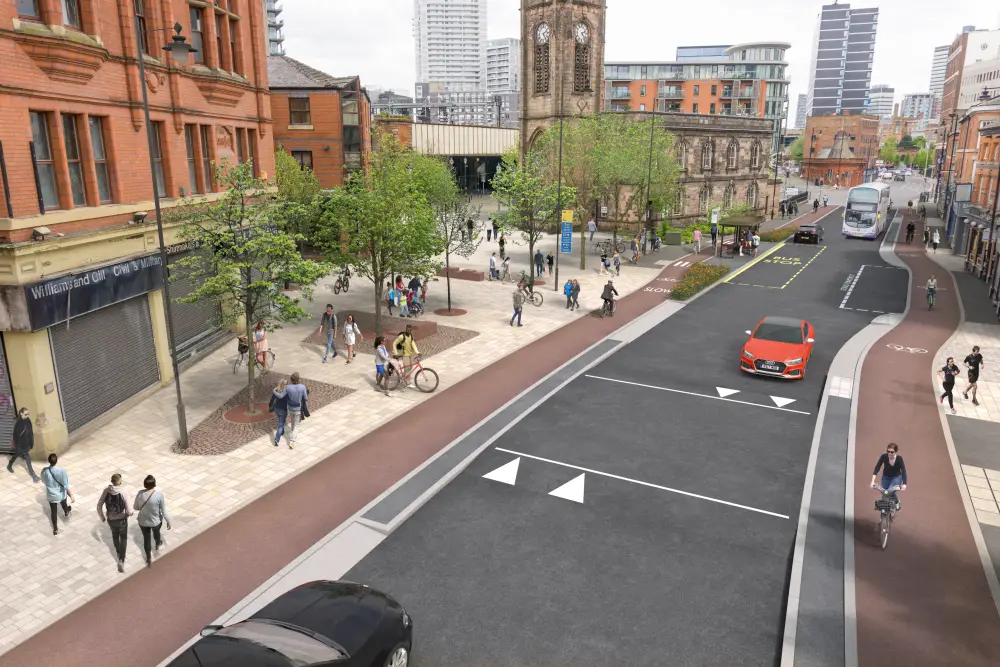
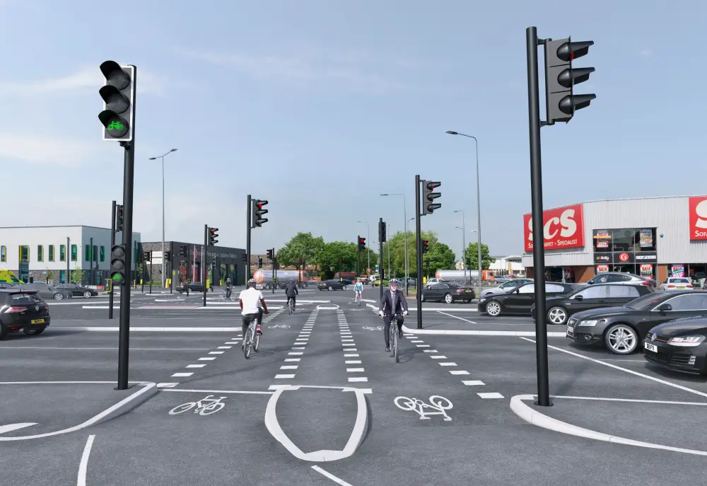
The network – named Beelines after the city’s now famous civic symbol – includes 75 miles of Dutch-style segregated bike lanes, and involves all 10 Greater Manchester local authorities.
Once built, the network will better connect every community in Greater Manchester, benefitting 2.7 million people and making cycling and walking a real alternative to the car.
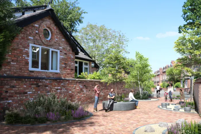
The proposals, which are subject to formal approval by the Greater Manchester Combined Authority (GMCA) on Friday 29 June, also include plans for 1,400 safer road crossings on the majority of routes and 25 ‘filtered neighbourhoods’, where priority will be given to the movement of people and where more public spaces to sit, play and socialise will be created.
People in Greater Manchester make around 250 million car journeys of less than one kilometre each year – the equivalent of a 15-minute walk or a five-minute bike ride.
A large proportion of these trips are school runs. In the Netherlands, 50% of children cycle to school every day – in Greater Manchester the number is less than 2%. Beelines aims to make walking and cycling the natural choice for short journeys.
Mayor of Greater Manchester, Andy Burnham, said: “Greater Manchester has a long history of doing innovative things and our approach to Beelines is no different.

“This proposal is bold and I make no apology for that. If we’re to cut congestion and clean up our air, decisive action is needed. I want to make Greater Manchester one of the top 10 places in the world to live and it’s action of this sort which will help to deliver that promise.
“We have £160m to get us started and we have a plan that has something in it for every single person in Greater Manchester.”
Greater Manchester’s Cycling and Walking Commissioner, Chris Boardman, said: “I’ve been massively impressed by the political will of all of Greater Manchester’s 10 authorities to come together to make this plan a reality.
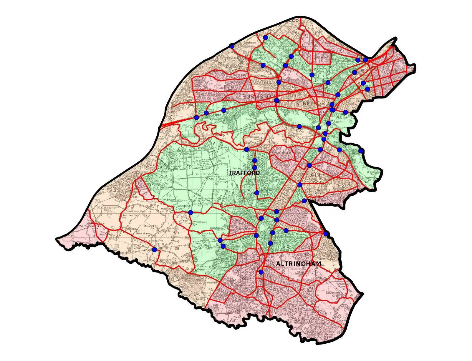
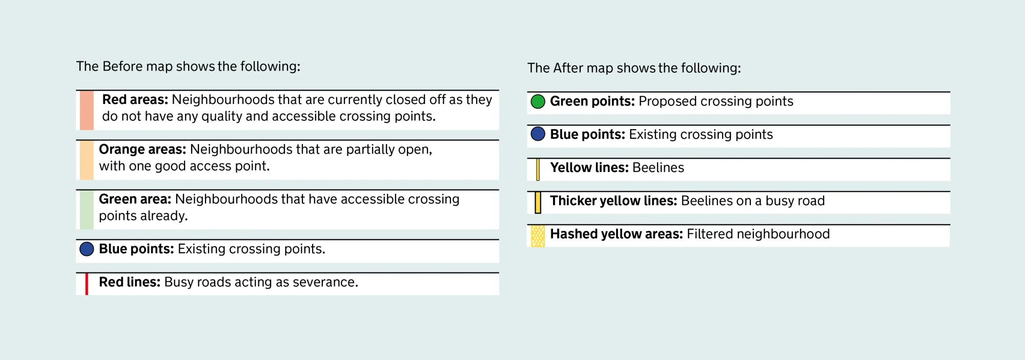
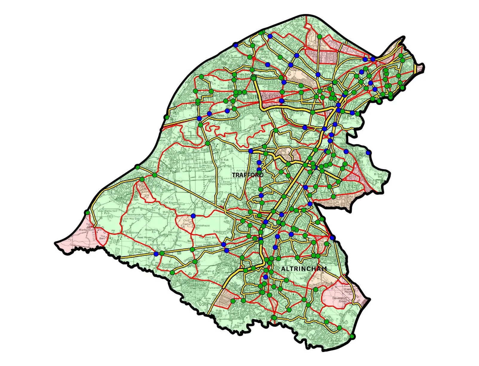
The ‘before’ and ‘after’ maps above and below show – down to street level – how the plans could take shape in Altrincham.
“It’s not really about people using bikes and walking – it’s about making better places to live and work by giving people a real choice about how they travel. In doing so, we’ll make the city-region healthier and more prosperous.”
Maps showing the proposed plans for each local council area in Greater Manchester have today been published on the Cycling and Walking Commissioner’s page on the Transport for Greater Manchester (TfGM)’s website.
The plans represent the first version of the network that could be built over the next five years. An updated version of the Beelines map will be published later in the year.
The plans published today have a combined budget of around £500 million and represent a first step in the planned £1.5 billion investment.
The first list of routes and crossings that will be built in this financial year will be published at the end of July. All 10 local authorities are now working with the GMCA and TfGM to identify sites where work can start quickly.


